The importance and application of geodetic services in the planning of electricity infrastructure networks
 Surveying services in power grid planning
Planning, construction and operation of power lines is a complex process that requires precise data and analyses, the information for which is often obtained in the field. Surveying/ geodetic services play an important role in this process, providing necessary information about the area and its conditions. In this article, we will discuss the importance and application of geodetic services in power grid planning, pointing out their importance and benefits for the entire investment process.
Importance of surveying services in power grid planning – pre-investment stage
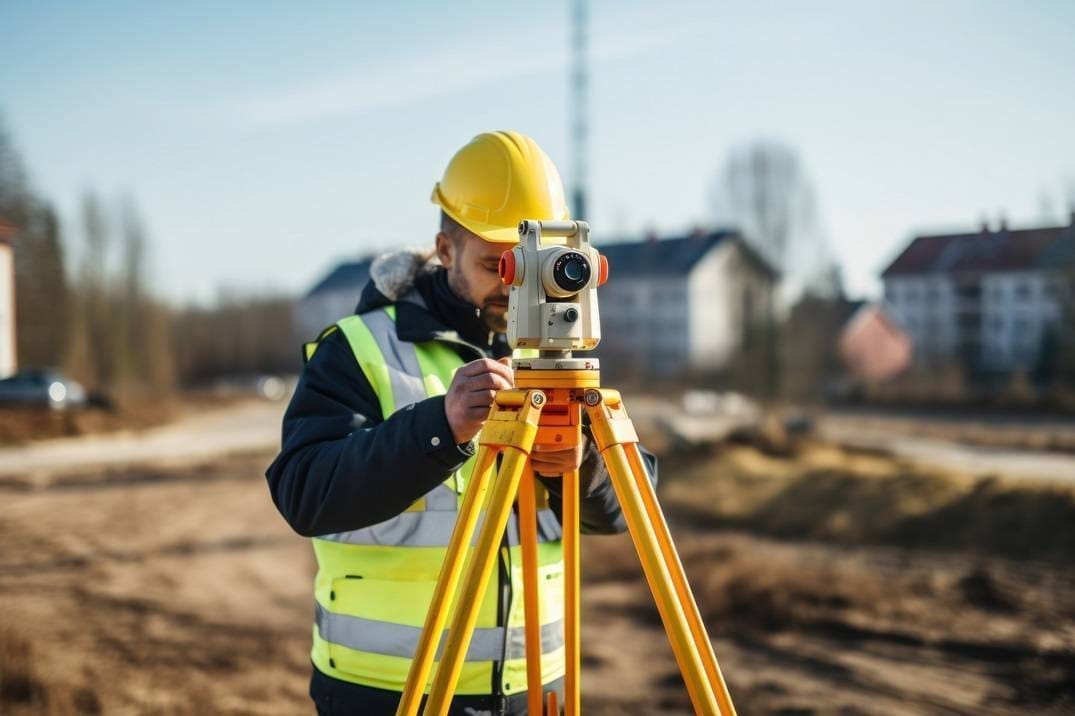
Geodetic services are an indispensable part of every construction investment, especially in activities such as power grid planning and overhead line design, where precisely collected field data is necessary for the safe and effective arrangement of infrastructure and determining the route of power lines. Geodetic data therefore provide precise information about the topography of the area, identifying unevenness, depressions, hills and existing infrastructure and facilities in the area. Accurate geodetic measurements are the foundation for the work of engineers and designers, due to the fact that they enable them to create faithful Digital Terrain Models (DTM) or Digital Surface Models (DSM), which serve as the final basis for planning and then designing new power infrastructure facilities.
Nowadays, land surveyors, in order to obtain the most precise data possible, use modern tools and technologies, such as spatial thermal imaging, laser scanning and aerial photos to obtain accurate field data. The use of a drone for geodetic measurements is also standard. Detailed measurements are necessary to plan the routes of power lines, the location of transformer stations and other infrastructure facilities.
Compliance with regulations and development plan
In the planning and design of electricity networks, development plans play an extremely important role. Geodetic services play an important role in ensuring that the planning and construction of the electricity network complies with current legislation and technical standards. This process includes verification of compliance of planned investments with local spatial development plans, which allows to ensure that the new infrastructure does not violate the arrangements regarding the intended use of a given area.
The use of geodetic services in various planning stages – the investment implementation stage
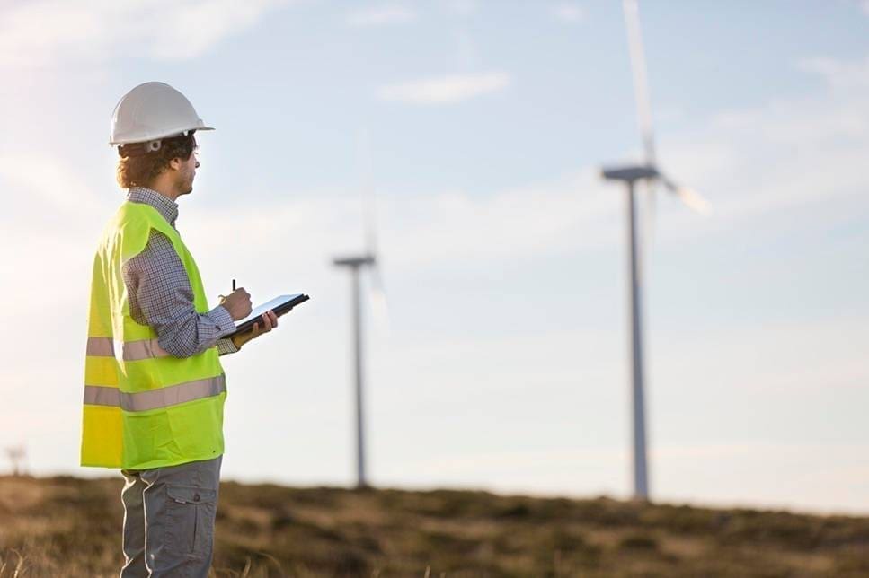
As we mentioned, at the pre-investment stage, geodetic services are used to conduct preliminary field analysis and feasibility studies. During the implementation of the investment, land surveyors carry out ongoing control measurements to ensure compliance of construction works with the project. They also monitor possible field changes that may affect the stability and safety of the constructed infrastructure. Geodetic services are necessary for the precise location of poles, wires and other overhead parts of the power grid.
After completion of construction, geodetic services include as-built documentation, which is one of the elements in the process of managing and maintaining the power infrastructure. Geodetic measurements and field data updates are necessary to monitor emerging threats to the condition of infrastructure and plan repair works. At the operational stage, the power infrastructure is subject to inspections, such as geodetic measurements of tension parameters and measurements of line construction parameters.

Benefits of using geodetic services
Thanks to precise field data, the design and construction of the power grid can be carried out more efficiently and effectively. Land surveyors help avoid design errors that could lead to costly rework and delays in investment implementation.
The use of geodetic services also allows for the optimization of investment costs through accurate planning of power line routes and the location of transformer stations. Precise field data allows to select the most economical and technically feasible solutions.
Safety is the most important factor in the construction and operation of the power grid. Geodetic services provide a thorough analysis of field conditions, which allows for the identification of potential threats and collisions and their subsequent minimization. Regular control measurements allow to monitor the condition of the infrastructure and prevent failures. In turn, ensuring compliance with legal regulations and technical standards is necessary for the legal and safe implementation of the investment.
The future of geodetic services in power network planning
As geodetic technologies develop and the demand for sustainable power infrastructure increases, geodetic services will play an increasingly important role in power grid planning. These new technologies, such as drones, laser scanning and 3D modelling enable even more accurate and efficient field measurements.